History
- Kahola is an Indian word meaning spring water.
- The southern boundary of the Kansas Indian Reservation runs along the south edge of the lake.
- There are 800 acres of lake and park of which 405 acres comprise the lake area.
- The elevation of the Lake is 1270 feet above sea level.
- The dam was completed in 1937 at a cost of $290,000.00.
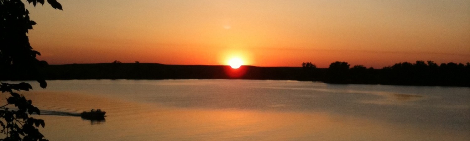
- When the Lake is full, it is 2 miles in length with a shoreline of 7 miles.
- The Lake has a watershed of 16 square miles, only one and one-half miles under cultivation.
- The dam is 1900 feet in length and a maximum height of 70 feet.
- The width of the Lake at the widest point is 3500 feet with a boat racing course of one and one-quarter long.
- There are 60 cabin sites around the lake.
- There were 80,000 young trees set out around the lake by the C.C.C. camp from Council Grove.
- When full, the Lake has a capacity of 2,157,000,000 gallons of water covering an area of 405 miles.
- The deepest point in the Lake is near the outlet tower and is 50 feet deep when the lake is full.
- When the Lake is full, it contains enough water to supply Emporia for one year without any rainfall, assuming that two-thirds of the water would be lost through evaporation at the Lake and in flowing 30 miles down the river bed to the Emporia Pumping Station.
- The Lake was stocked with 85,000 fish by the Kansas State Fish and Game Commission.
NOTES OF INTEREST
Gleaned from a letter of John B. Smith to Ralph Dagett, Mayor of Emporia and dated October 6, 1973:
"There were some very dry years in the early thirties and in view of a severe water shortage, the City of Emporia decided to build a dam across Kahola Creek a the present site of Lake Kahola. This was for the purpose of impounding water as a reserve supply to be used by the City of Emporia when needed. This was the reason for building the lake in the first place.
During the forties and fifties, the City of Emporia persistently drained water from the Lake. At one time, it was completely dry with part of the lake bottom being plowed up and crops were planted."
KAHOLA PARK AND LAKE GENERAL INFORMATION
Kahola Lake was built in 1936 as a source of water for the City of Emporia by the WPA (Works Progress Administration). The original Emporia City ordinance (number 1475) describes a certain tract of land on which the City has constructed a dam across Kahola Creek creating a lake, naming the tract of land, naming the lake, regulating the use thereof, and prescribing penalties for the violation of this ordinance. The WPA bussed two shifts of workers out of Emporia to finish the project.
The county lines of Morris and Chase counties runs through the middle of the lake. The south side of the lake is the southern boundary of the old Kansa/Kaw Indian Reservation which was transferred to the Indian nations of Oklahoma in 1877. The primary village was located three miles upstream of the present lake.
There have been six caretakers in the lake's history, and then the position was retitled, Director of Operations for our seventh overseer, Jason Passmore, in 2018 to allow for the expanding job responsibilities.
From 1937 until Present
Joe Campbell --------- 1941-1946
Lovell VanGorden --- 1946-1976
Rex Roberts --------- 1976-1984
Mark Haag --------- 1984-1988
Drew "Doug" Montgomery --- 1988- 2018
Note: Doug retired after 30 years of much-appreciated service to the lake.
Jason Passmore --- 2018 - Present
Additional information here: http://www.geospectra.net/kahola/kahola.htm
Pages
- Home
- Calendar
- Board Happenings
- Board Policies
- Agendas
- 2024 Agendas
- 2023 Agendas
- 2022 Agendas
- 2021 Agendas
- 2020 Agendas
- 2019 Agendas
- 2018 Agendas
- 2017 Agendas
- 2016 Agendas
- 2015 Agendas
- 2014 Agendas
- 2013 Agendas
- Minutes
- 2024 Minutes
- 2023 Minutes
- 2022 Minutes
- 2021 Minutes
- 2020 Minutes
- 2019 Minutes
- 2018 Minutes
- 2017 Minutes
- 2016 Minutes
- 2015 Minutes
- 2014 Minutes
- 2013 Minutes
- 2012 Minutes
- 2011 Minutes
- 2010 Minutes
- 2009 Minutes
- 2008 Minutes
- 2007 Minutes
- Financials
- 2024 Financials
- 2023 Financials
- 2022 Financials
- 2021 Financials
- 2020 Financials
- 2019 Financials
- 2018 Financials
- 2017 Financials
- 2016 Financials
- 2015 Financials
- 2014 Financials
- 2013 Financials
- 2012 Financials
- 2011 Financials
- 2010 Financials
- 2009 Financials
- 2008 Financials
- 2007 Financials
- Resolutions
- 2024 Resolutions
- 2023 Resolutions
- 2022 Resolutions
- 2021 Resolutions
- 2020 Resolutions
- 2019 Resolutions
- 2018 Resolutions
- 2017 Resolutions
- 2016 Resolutions
- 2015 Resolutions
- 2014 Resolutions
- 2013 Resolutions
- Proposed Rule/Policy Changes
- Surveys
- General Information
- Newsletters
- Miscellaneous
- KHA Rules & Gov. Docs
- Owner List
- Resident Directory
- Construction Info
- Construction Info
- Wastewater Guidelines
- Facilities
- Current Pending Permits
- Other
- Useful Contacts
- Lake Map
- Zebra Mussel Info
- Zebra Mussel Docs
- ZM Inspection Request
- Sale Information
- Information
- Documents
- Board Members
- Committees
- Photos
- History
- Forum
- Classifieds
- Contact Board
- Contact Webmaster
- Kahola Merchandise
- DOO Work Request
- RFPs
- Service Provider Ad Board